Asset Inspections Aerial Photography Thermal Imaging
Roof Inspections - Retirement Village Sites
By Caleb Weir, Director · · 1 min read
Roof condition assessments for 3 retirement village sites. 2x capture times, regular RGB and thermal imagery.
Aorangi Aerials completed drone roof inspections across three retirement village sites, capturing detailed aerial imagery to support roof condition reviews. The project combined site-wide coverage with targeted close-up photography, bringing the resulting imagery together in one interactive online dashboard.
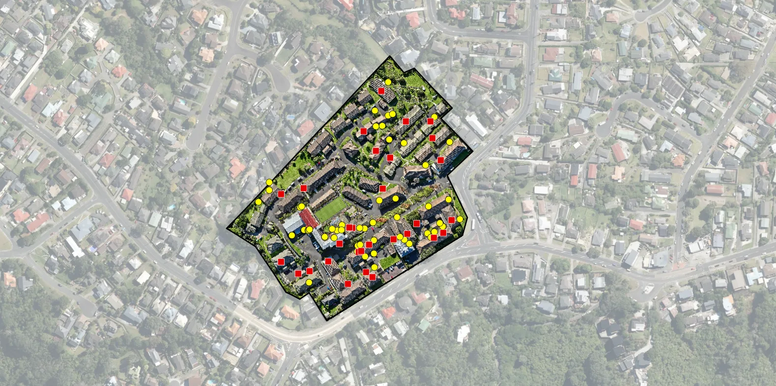
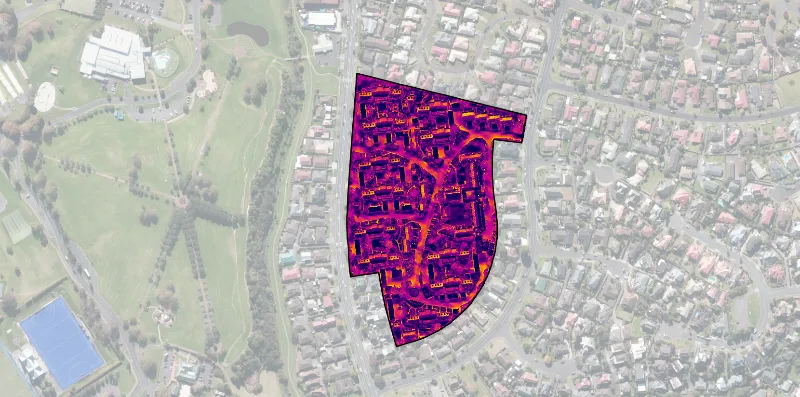
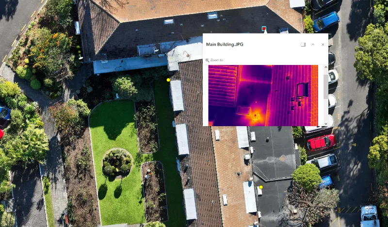
Using the DJI Mavic 3E and DJI Matrice 4TD, we captured each site twice: once during the day for regular RGB imagery, and again after sunset for thermal imagery capture. These two visits provided separate sets of imagery for each site. Together, the daytime photographs and thermal imagery give clients a more complete picture of the condition of their roofs, pairing visible surface details with temperature variations that may warrant further investigation. This helps clients identify areas for closer review and prioritise maintenance follow-up, while providing a visual record for future reference.
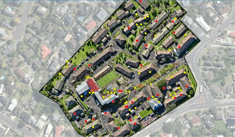
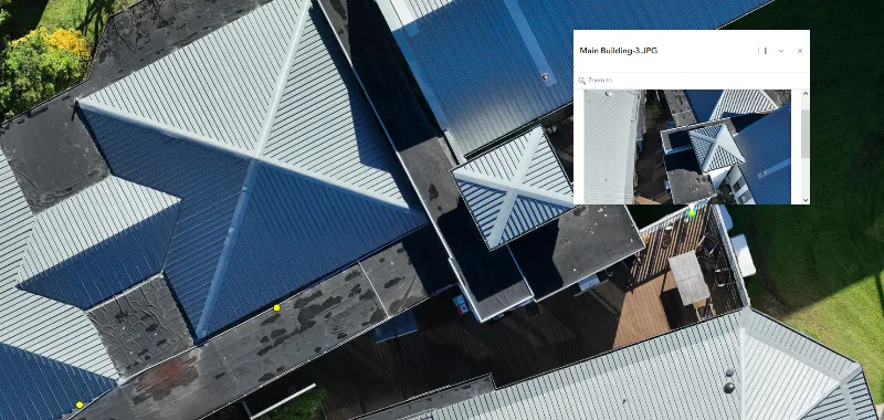
We produced two orthomosaics for each site - six in total across the three sites. These stitched aerial maps provided an overview of the roofs at each location, complementing the individual inspection photographs. During the initial capture, we identified areas that might warrant a closer look. We then captured additional ad hoc imagery of those areas, providing close-up detail imagery alongside the broader site coverage.
All resulting imagery was uploaded to and displayed in an interactive online ArcGIS dashboard for easy viewing. Bringing the two orthomosaics and close-up photographs together gave the client a single place to explore the imagery captured across all three sites, from roof-wide overviews to specific areas of interest.
Gallery
More from the field
Orthomosaic Capture Across Nine South Island Substations
Orthomosaic capture of 9 substations across Canterbury and the West Coast to support vegetation assessments.