Asset Inspections Surveying & Mapping
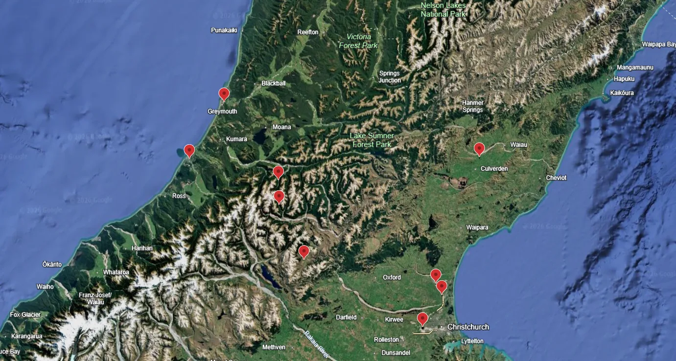
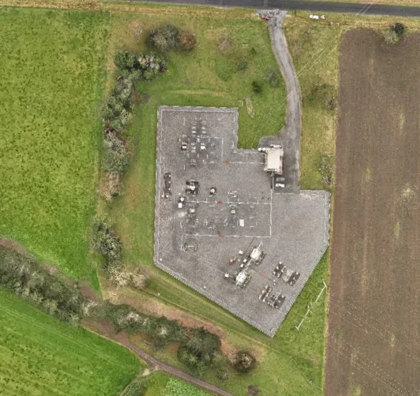
Orthomosaic Capture Across Nine South Island Substations
By Caleb Weir, Director · · 1 min read
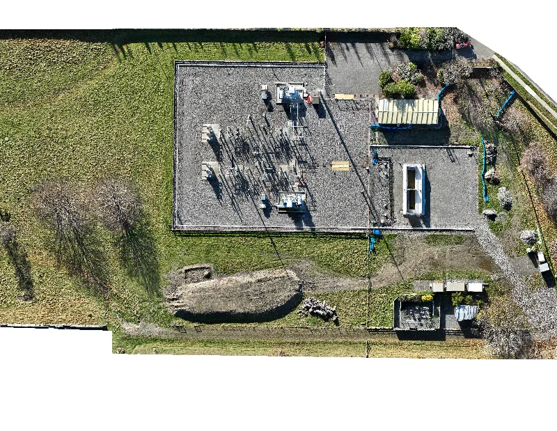
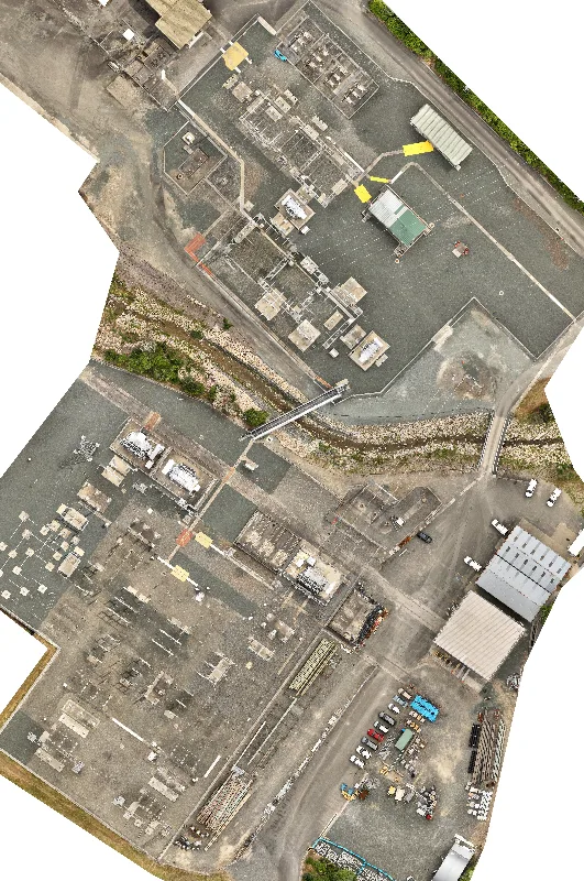
Orthomosaic capture of 9 substations across Canterbury and the West Coast to support vegetation assessments.
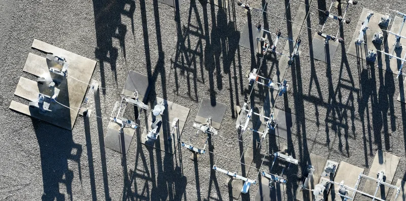
We captured high-resolution aerial imagery to produce orthomosaics for nine substation locations across the South Island. The project supported vegetation assessments, providing the client with detailed aerial imagery of each site.
The client set strict quality-control (QC) requirements for the imagery, including image clarity, detail, sun height and cloud-free coverage. These requirements guided capture planning at every location, with suitable weather conditions essential to meeting the required standard.
Delivering across nine geographically spread locations required careful coordination of travel and weather windows. We planned site visits around suitable capture conditions, aligning travel with the available weather windows to meet both the delivery deadline and the client’s strict QC requirements.
The resulting high-resolution orthomosaics were delivered on time and met the client’s imagery quality requirements, providing a clear, detailed visual basis for vegetation assessments across all nine substations.
Gallery
More from the field
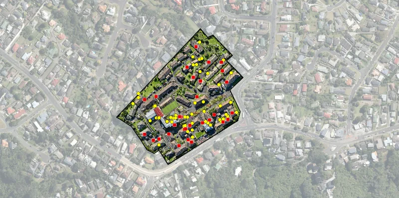
Roof Inspections - Retirement Village Sites
Roof condition assessments for 3 retirement village sites. 2x capture times, regular RGB and thermal imagery.