Surveying & Mapping
Surveying & Mapping articles and project stories from Aorangi Aerials, Canterbury drone specialists.
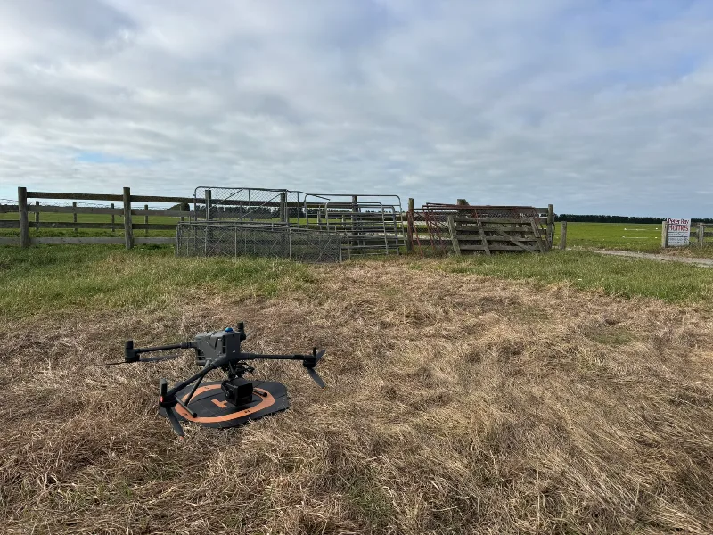
Large Scale LiDAR Survey: Mapping Pivot Rut Depths and Fill Volumes
Using LiDAR to measure centre pivot rutting
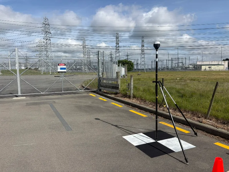
Ground Control Points Across the South Island: Supporting Helicopter LiDAR Surveys
Measuring highly accurate GPS coordinates using our Emlid GNSS recievers at 25 locations across the South Island.