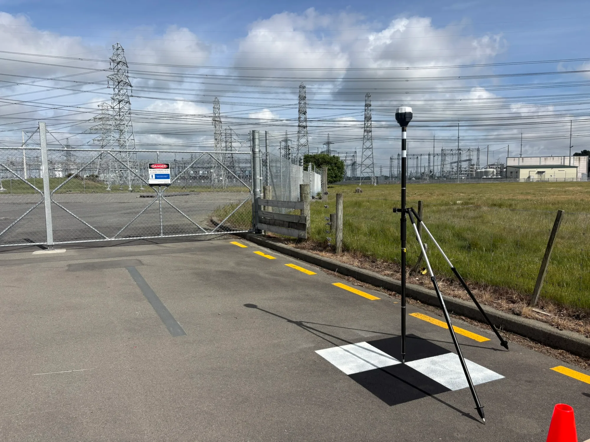
Surveying & Mapping GNSS Reciever
Ground Control Points Across the South Island: Supporting Helicopter LiDAR Surveys
By Caleb Weir, Director · · 1 min read
Measuring highly accurate GPS coordinates using our Emlid GNSS recievers at 25 locations across the South Island.
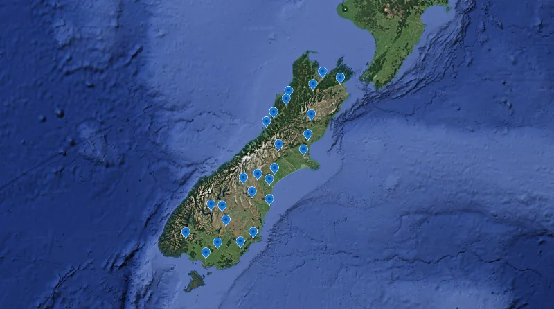
Aorangi Aerials was proud to support our partner Drone Technologies New Zealand with ground control work across 25 locations throughout the South Island, assisting a helicopter LiDAR scan of national transmission lines.
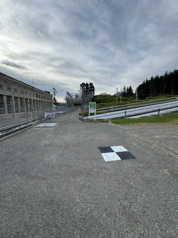
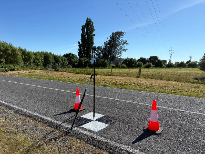
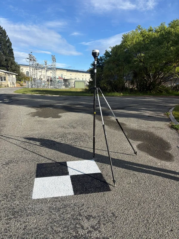
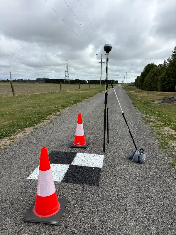
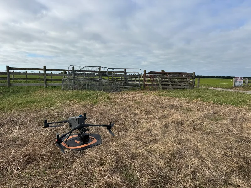
Our team painted and measured ground control points to survey accuracy using surveyor-approved methods. This ground-based work provided reference information to support the wider aerial survey - an important part of the project before the helicopter took flight.
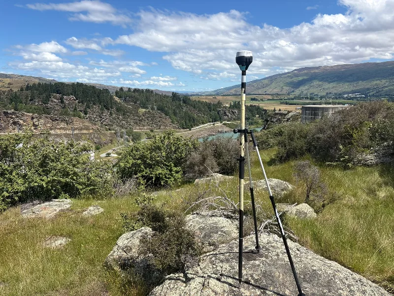
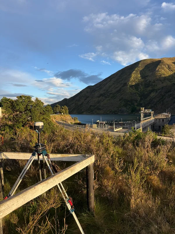
Many of the locations were remote and difficult to reach. Getting to each site was a challenge in itself, requiring careful planning to coordinate access, suitable weather windows and short delivery timeframes across a large geographical area.
The Emlid RS2+ was a key piece of equipment throughout the project. At many sites, RTK correction services were unavailable, so we used alternative correction workflows to achieve the required survey accuracy. Adapting our approach to the conditions at each location was essential to completing the ground control work.
This project highlights the preparation and practical fieldwork behind aerial surveying. From remote access to measurement methods, every site required attention to detail. We were pleased to support DTNZ with ground control across these challenging South Island locations.
Gallery
More from the field
Large Scale LiDAR Survey: Mapping Pivot Rut Depths and Fill Volumes
Using LiDAR to measure centre pivot rutting