Surveying & Mapping LiDAR Agriculture
Large Scale LiDAR Survey: Mapping Pivot Rut Depths and Fill Volumes
By Caleb Weir, Director · · 1 min read
Using LiDAR to measure centre pivot rutting
Aorangi Aerials was engaged to conduct a large-scale UAV LiDAR survey across seven dairy farms throughout Canterbury, covering a combined area of over 3,000 hectares. The objective was to identify, measure and map centre pivot irrigation wheel ruts to support targeted remediation planning and ongoing asset management.
The project required high-density LiDAR data collection across the farms, with a focus on capturing the ground detail needed to assess rut depths and estimate the volumes of material required for filling. The survey scope combined broad-area coverage with detailed measurement of localised ground depressions.
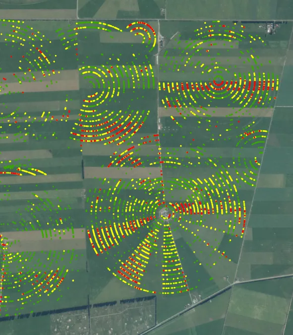
The required deliverables included maps showing rut locations, measured depths and estimated fill volumes. These outputs were intended to give farm managers a clear picture of the extent and severity of rutting, helping them prioritise affected areas and plan material requirements for repairs.
A key requirement was to translate a large LiDAR dataset into practical, clearly presented information. Linking rut locations with depth and volume estimates would support more informed remediation planning across individual pivot tracks and the wider farm portfolio.
Gallery
More from the field
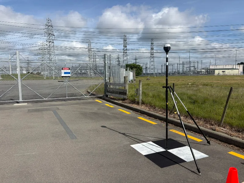
Ground Control Points Across the South Island: Supporting Helicopter LiDAR Surveys
Measuring highly accurate GPS coordinates using our Emlid GNSS recievers at 25 locations across the South Island.