LiDAR GNSS Reciever Forestry Surveying & Mapping
Forestry LiDAR Survey
By Caleb Weir, Director · · 1 min read
Over 500 hectares of forest captured with high density LiDAR.
Aorangi Aerials completed a UAV LiDAR survey across more than 500 hectares of forest land, providing the forest owner with detailed spatial data to better understand their asset. The project focused on capturing an accurate representation of the forest which can be used to gather useful information about tree count, canopy height and estimated biomass.
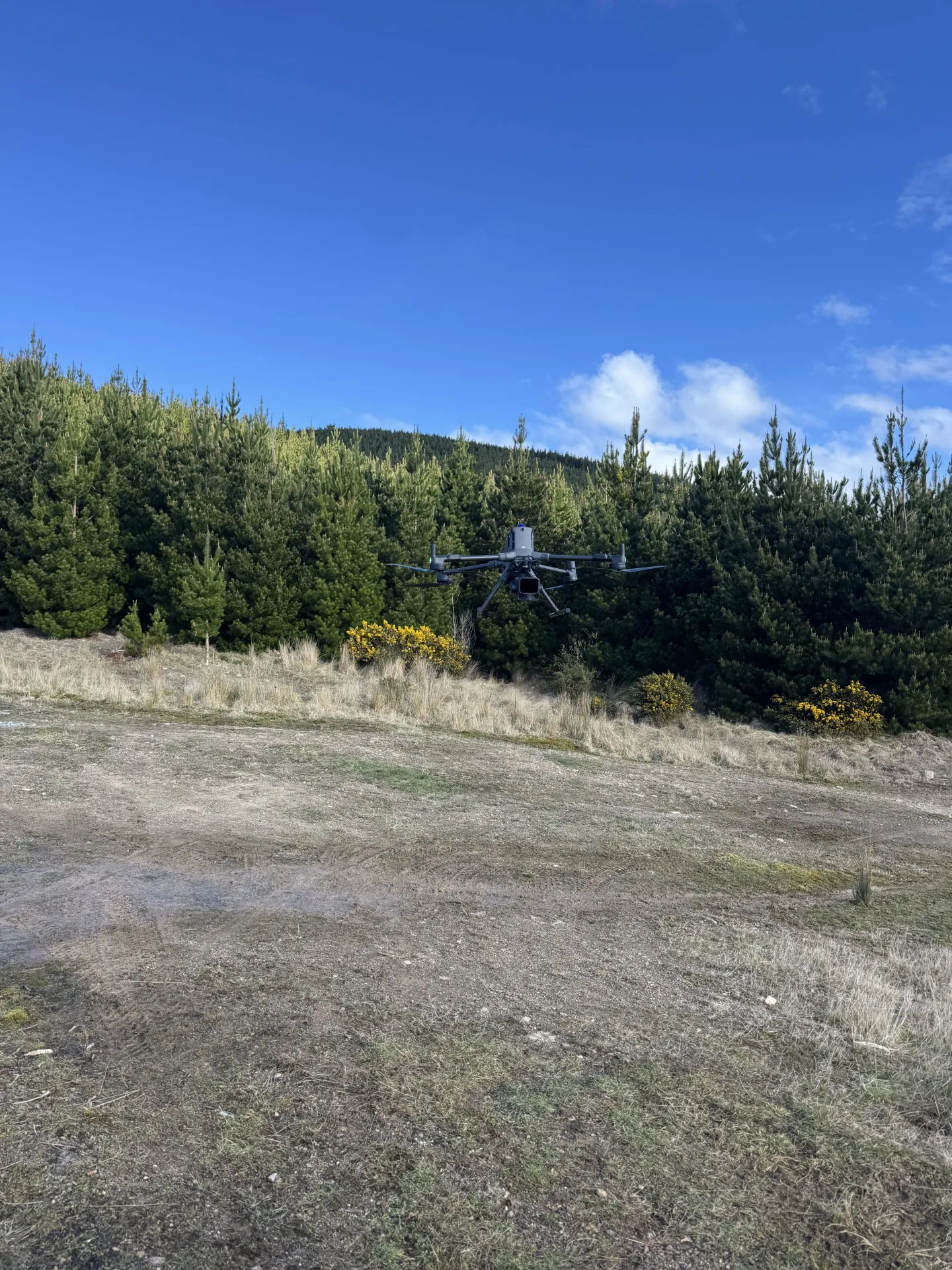
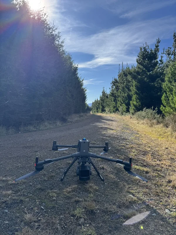
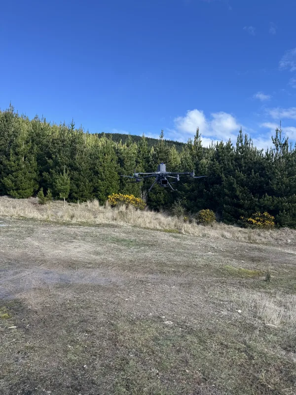
Using a DJI Matrice 400 equipped with a DJI L3 LiDAR payload, we captured a detailed dataset across the survey area. The resulting data was processed into a dense point cloud, providing a three-dimensional representation of the forest’s structure.
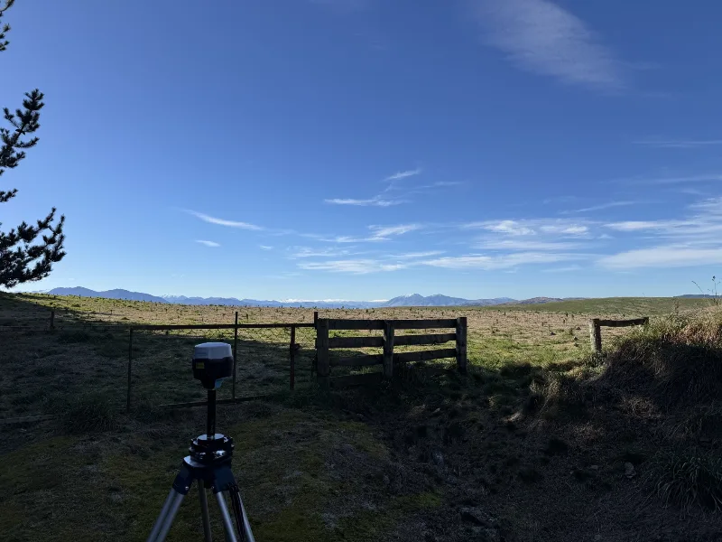
Ground check points were used to assess the accuracy of the captured data and verify that the resulting point cloud met the project’s accuracy requirements. This validation provided confidence in the spatial dataset underpinning the forestry analysis.
The point cloud supported analysis of key forestry metrics, including tree count, canopy height and biomass estimation. Together, these measures provided a more detailed picture of the forest, helping the owner understand not only the area covered by their asset, but also its physical characteristics.
The project gave the forest owner a clearer, data-led understanding of more than 500 hectares of forestry. By translating a dense LiDAR point cloud into relevant forestry metrics, Aorangi Aerials helped connect detailed survey information with practical asset knowledge. The resulting insights supported a better understanding of the forest and the factors contributing to its value, providing an evidence base for future discussions about the asset.
Gallery
More from the field
Large Scale LiDAR Survey: Mapping Pivot Rut Depths and Fill Volumes
Using LiDAR to measure centre pivot rutting