Our Services
We specialise in delivering high-quality aerial insights with precision, reliability and safety
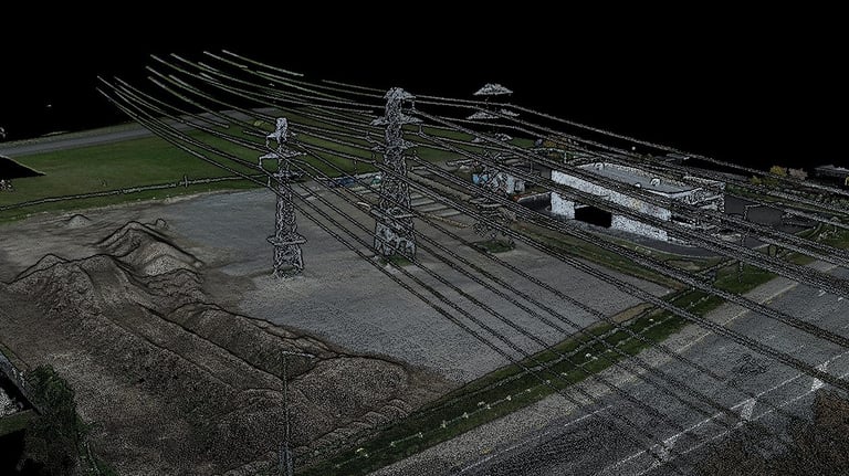
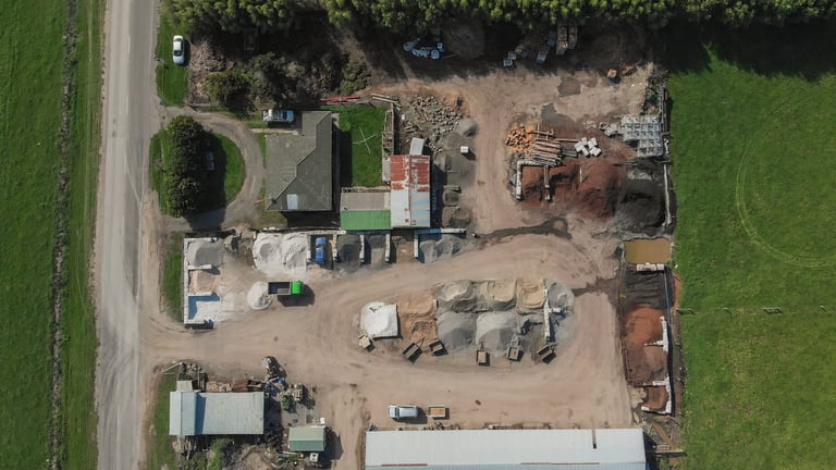
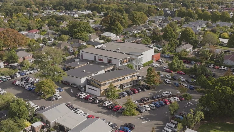
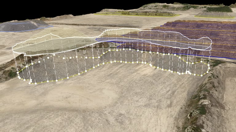
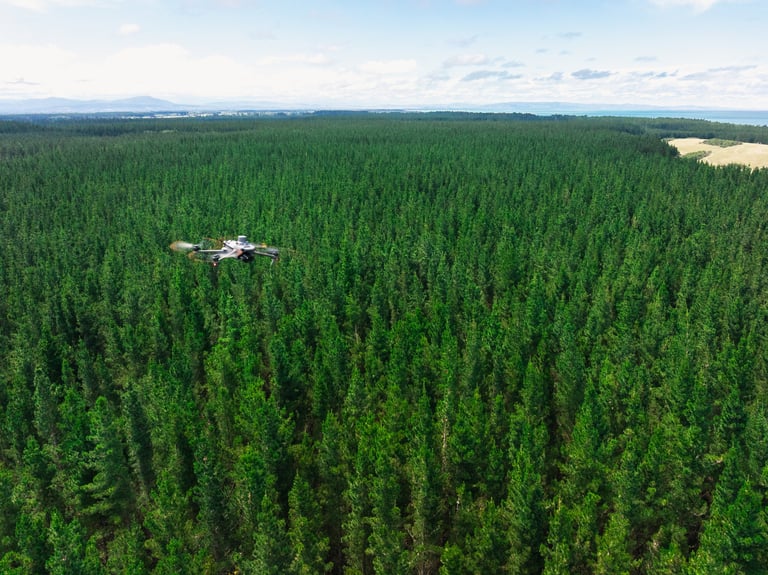
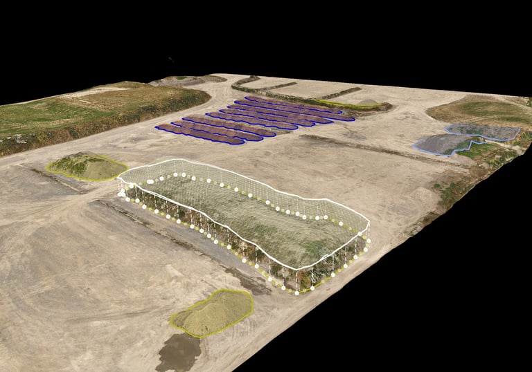
Surveying & Mapping
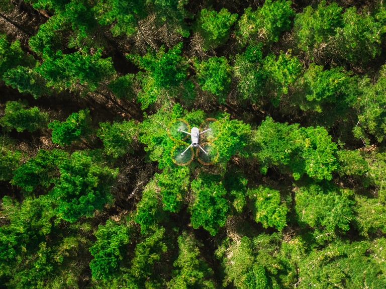
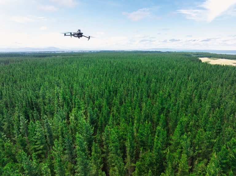
Aerial Photography & Videography
Cinematic visuals and high resolution captures from above - perfect for real estate, events, live broadcast and social media.
Accurate elevation models, orthomosaics, and 2D/3D data for construction, agriculture, forestry and planning.
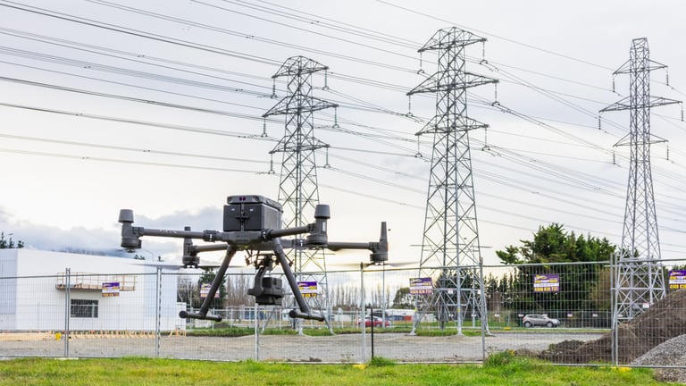
Asset Inspections
Safe, efficient inspections of roofs, towers, bridges, infrastructure, and hard-to-reach areas. Reducing risk and saving time.
Heavy Lift
Deliver payloads to crews working in hard to reach or remote locations. Saving massive costs compared to traditional methods such as cranes or helicopters.
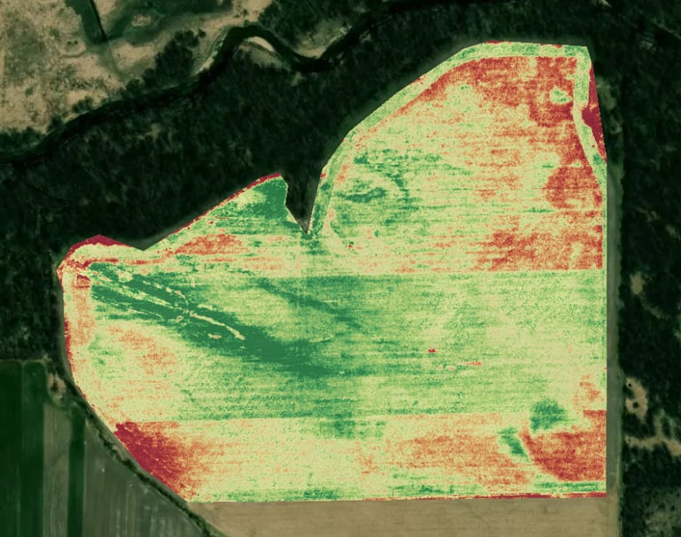
Thermal & Multispectral Imaging
Identify heat loss, moisture, electrical issues, livestock, pests and more.
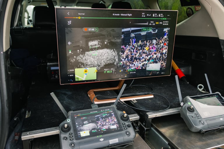
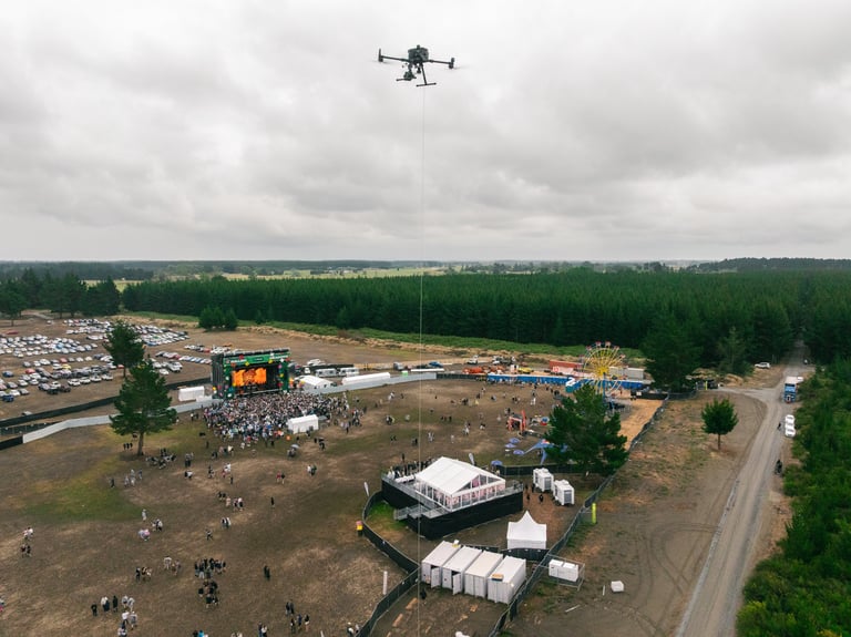
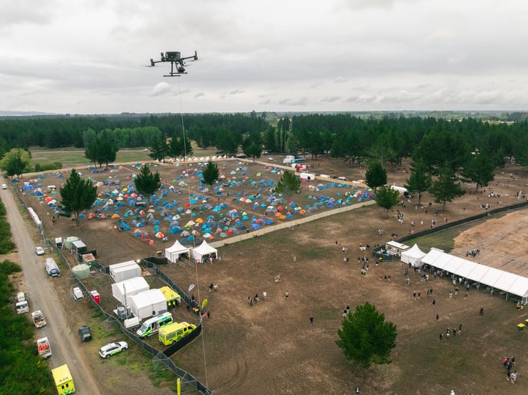
Surveillance & Monitoring
Monitor sites or projects with discreet aerial surveillance. Great for security, project tracking and flow monitoring.


Why Choose Us
At Aorangi Aerials, we are committed to delivering the highest quality drone services while still following all laws and regulations to our clients. Our drone operators have extensive training and experience in operating drones safely and effectively under CAA Part 101 and 102 requirements. Contact us today to learn more about how our aerial drone services can benefit your project!
Industry Proven Equipment
We use industry-tested equipment that we trust to deliver high-quality results for our customers.
Licensed & Insured
As a licensed and insured company, you can trust us for safe and reliable service.
Certified Drone Operators
All of our drone operators have completed CAA Part 102 Training and consistently enhance their skills in their respective areas of expertise.


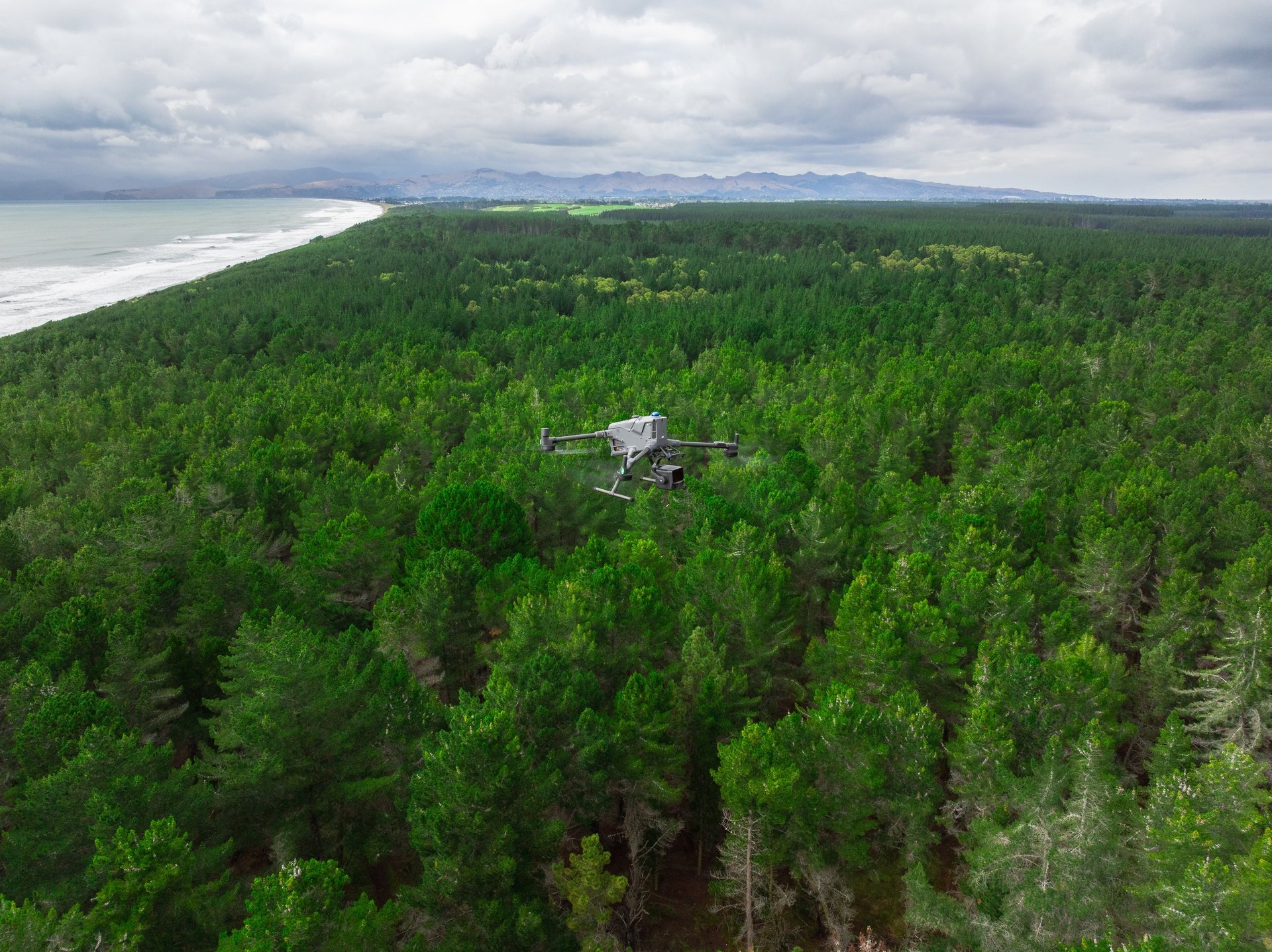
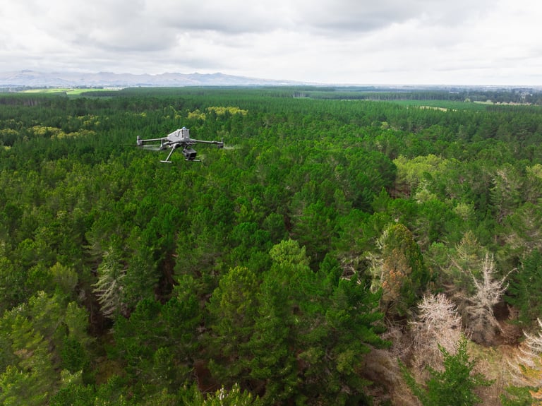
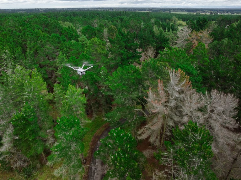
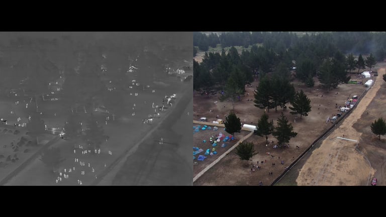
Our work
Seeing is believing. Below is an example of how our high-resolution aerial imagery can make all the difference in your next project. Below are a few examples of some of our past work.


Contact
Our services
hello@aorangiaerials.nz
03 4217 520
Aorangi Aerials © 2026 | Christchurch, New Zealand
All rights reserved.